

With the continuous development and progress of society, the pressure of ecological environmental protection is also increasing, and environmental monitoring, as an important premise of environmental protection and pollution control, plays an important role in technical support for environmental protection. At the same time, the development of UAV control technology has also made UAVs achieve great results in the field of environmental protection inspection.
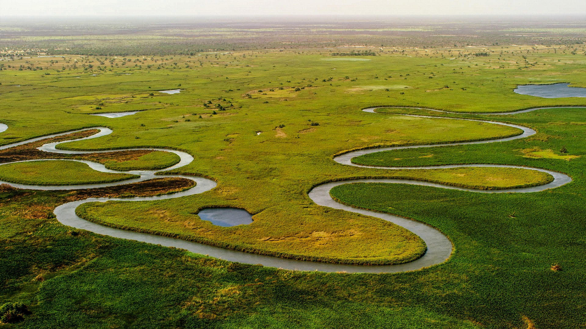
For the inspection of ecological function areas, the traditional manual detection methods and field monitoring work may bring different degrees of impact or even damage to these areas, and these areas are usually relatively remote and large, which brings great difficulties and obstacles to traditional manual detection. Unmanned aerial vehicle (UAV) environmental protection inspections can effectively avoid such risks, and obtain more complete monitoring data of ecological reserves through remote sensing images, so as to better understand the resource conditions, development and utilization status of ecological reserves, and changes in pollution levels. At the same time, it can also track the situation of the vandals in a timely and effective manner when the ecological reserve is damaged by man.
In terms of environmental protection inspection, UAV aerial survey can quickly obtain images around pollution accidents, clearly present the main terrain areas and the plane layout of industrial enterprises, and focus on analyzing the layout of industrial enterprises and the geography around the main pollution sources according to the high-resolution digital image map taken, so as to determine the location of the main environmental protection area, the distribution of the watershed and the surrounding pollution sources.
Application scenario
1: Smoke detection, fire point identification and fire area calculationThrough normalized inspection, smoke and open flames can be detected based on visible light and infrared equipment, provide early warning and location information, and provide accurate post-disaster assessment data, which can be applied to forest and grassland fire disposal and monitoring.
2. Site investigation and dust inspection are based on AI image recognition capabilities, and drone orthophoto images and normal inspection videos can effectively survey site operations and start-ups, and detect bare sites and construction site dust.
3. The urban garbage inspection drone collects video and picture data from a high-altitude perspective, identifies and marks suspected garbage heaps, and provides panoramic target indication for urban sanitation; The use of low-light and infrared equipment to carry out surprise detection and inspection at a long distance in the air during the key period of illegal discharge is conducive to timely detection of illegal discharge behavior and evidence collection.
4. The emergency rescue and environmental assessment UAV helps draw a map of the situation, integrates multispectral and zoom PTZ information, predicts potential safety hazards, and provides real and credible information for disaster relief and post-disaster ecological restoration research, judgment and planning and decision-making.