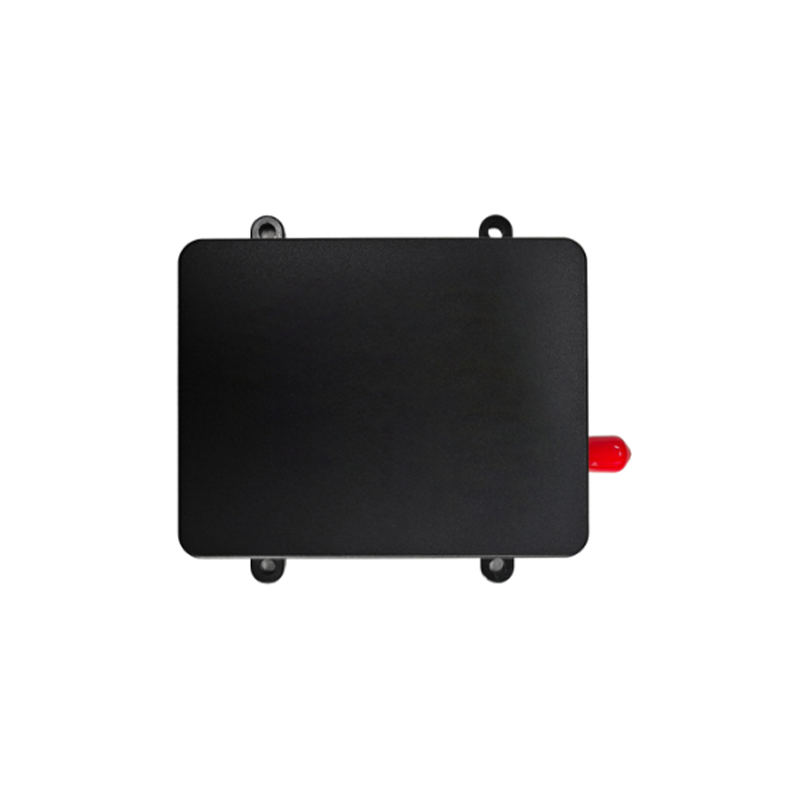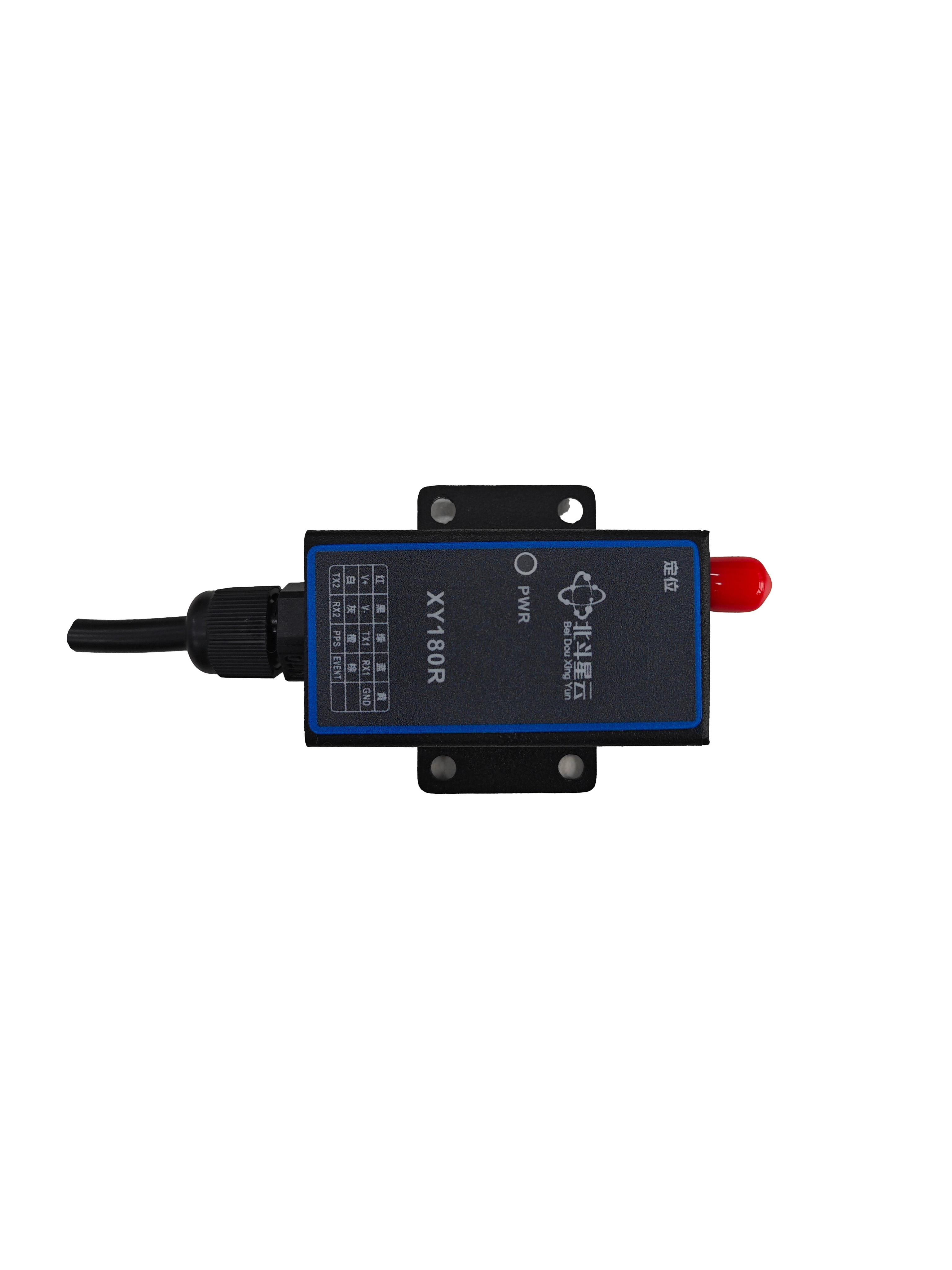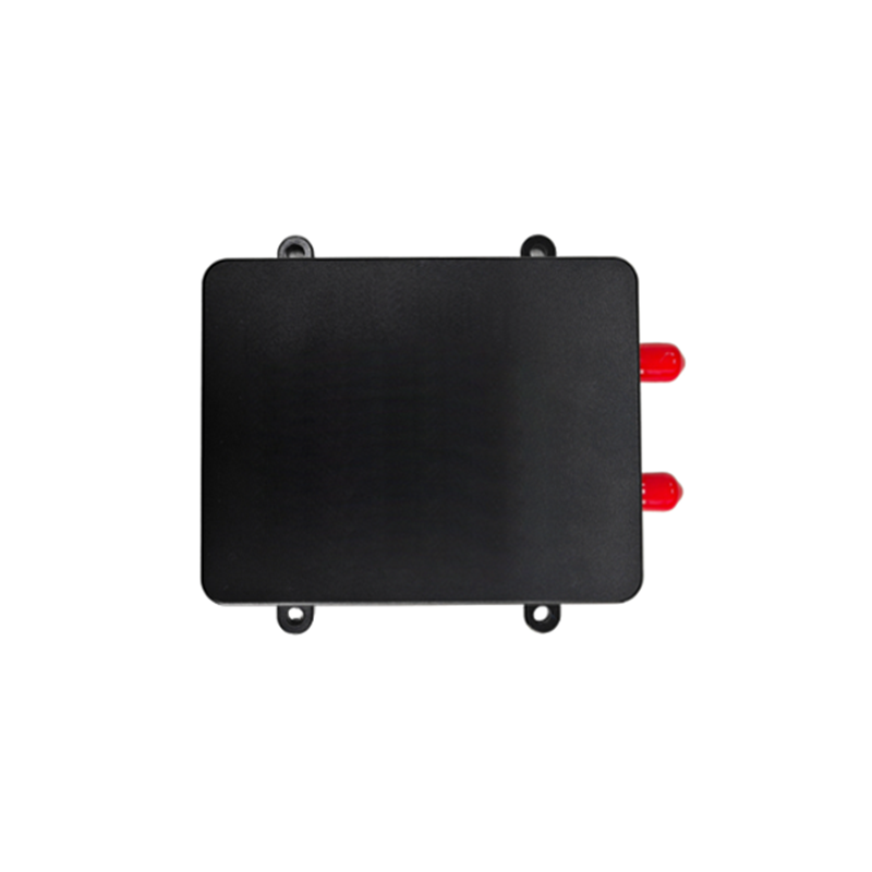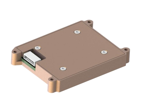
The SNC100E-A0 integrated navigation system (hereinafter referred to as the integrated navigation system) is equipped with high-performance MEMS magnetometers, gyroscopes, and accelerometers. It can receive internal GNSS data, implement multi-sensor fusion, and carry out combined navigation calculation algorithms. It also has short-term inertial navigation capability when the auxiliary navigation information is invalid.
Technical parameters :
| Project
| ||
| Electrical characteristics
| Voltage :10~36VDC | |
| Power consumption :≤3W | ||
| Ripple :100mW | ||
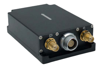
| size :80mm×53mm×23mm | ||
| Weight ≤180g | ||
| Navigation accuracy
| Dual antenna (2m baseline) :0.2°(RMS) | |
| Single antenna :1°(RMS) | ||
| Pose accuracy
| GNSS is valid, single point L1/L2 :0.1(RMS) | |
| RTK:0.1°(RMS) | ||
| VG precision :1°(RMS),2°(MAX) | ||
| Horizontal position accuracy
| GNSS is valid, single point L1/L2 :1.2m(RMS) | |
| RTK:2cm+1ppm(RMS) | ||
| Horizontal speed accuracy
| GNSS is valid, single point L1/L2 :0.1m/s(RMS) | |
| Gyroscope
| Measurement range :±500°/s | |
| Zero bias stability :10°/h(Average of 10 seconds ) | ||
| Accelerometer
| Measurement range: ±16 (customizable to ±200g)
| |
| Zero bias stability: 0.5 mg (10 seconds average)
| ||
| Inertial Navigation
| ||
| Project | GPS interruption for 60 seconds.
| GPS interruption for 3 minutes.
|
| Heading (degrees, RMS)
| 1.0 | 3.0 |
| Pitch, roll (degrees, RMS)
| 1.0 | 3.0 |
| Northward and eastward speed (m/s, RMS)
| 1.0 | 5.0 |
| Skyward Speed (m/s, RMS)
| 1.0 | 5.0 |
| Longitude and latitude precision (m, RMS)
| 30 | 500 |
| Elevation accuracy (m, RMS)
| 30 | 500 |


Long Press to Scan QR Code
Scan QR Code